Wild South
Ocean-battered cliffs with no coral barrier, indigenous forest of the Black River Gorges and sugar estates: the rural, windswept face of Mauritius.
Southern Mauritius truly reveals itself once you leave the coastal road at Souillac. The coral barrier that encircles 90% of the island's coastline breaks here: waves from the open ocean strike the basalt cliffs of Gris-Gris directly, sculpted by erosion into narrow overhangs. It's the only stretch of the island where you don't swim in the lagoon. The southeast wind, the trade winds, blows almost year-round at Pointe Naturelle, making this stretch of coast vastly different from the more sheltered northwest.
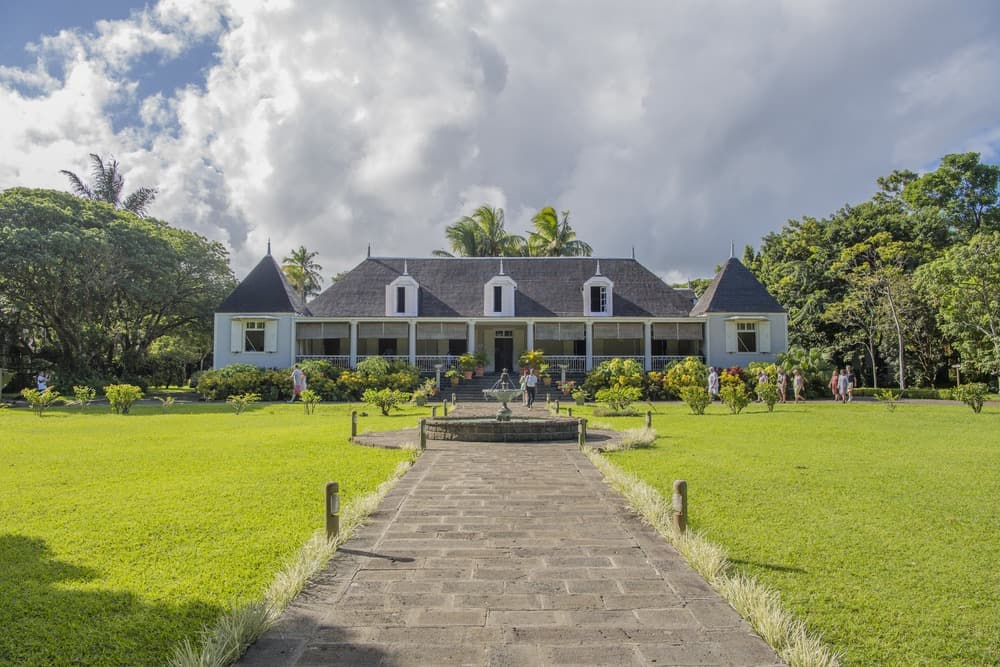
Inland, the landscape is dominated by former sugar estates repurposed into new ventures: Bel Ombre, Saint-Aubin, Britannia. Parts of the sugarcane fields have been replaced by tea plantations around Bois Chéri, at roughly 500 meters elevation, where we often take travelers for factory tours and tastings on a terrace overlooking the valleys. The south remains agricultural: you'll spot ox-drawn carts in hamlets like Tyack, Riambel, and Surinam, and burning sugarcane before harvest perfumes the air between July and November.
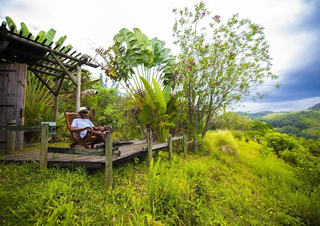
Nature reclaims its territory as you move inland from the coast. Black River Gorges National Park spans 6,754 hectares of indigenous forest, the last refuge for the Mauritius kestrel, the pink pigeon, and the echo parakeet—three species rescued from extinction by conservation programs since the 1980s. The Macchabée Trail, starting from Pétrin at 700 meters elevation, cuts through humid forest before descending to a viewpoint overlooking the gorges. Ferney Valley, a former sugar concession converted into a reserve, shelters centuries-old ebony and teak trees and offers guided hikes with local botanists.
Creole culture unfolds more gently here than elsewhere. Villages like Chamouny, Chemin Grenier, and Rivière des Anguilles have preserved their wooden houses with wraparound verandas, their neighborhood Chinese shops, their Tamil temples. Southern cuisine builds on fresh fish landed at Pointe aux Roches, on heart-of-palm from the Saint-Aubin estate, on spiced vegetable relishes and octopus curry. The guesthouses we recommend in Bel Ombre or Souillac work directly with local fishermen and market gardeners, fundamentally changing the dining experience compared to hotel buffets in the north.
To set the mood: by 7pm, roads are nearly empty between Souillac and La Gaulette. It's this lower population density, combined with a rawer coastline and forested interior, that defines the south. You come here to slow down, not for nightlife or lagoon snorkeling.
Must-See
Gris-Gris cliffs and Roche qui Pleure. Basalt promontory south of Souillac where the ocean strikes without a coral barrier. Roche qui Pleure, a rock formation battered by spray, takes its name from a face-like profile visible from the side.
Black River Gorges National Park. 6,754 hectares of indigenous forest stretching from the Pétrin plateau to the gorges. An 8 km hike on the Macchabée Trail through the island's last endemic humid forest.
Bel Ombre Estate and Ferney Valley. A former 2,500-hectare sugar estate opening onto indigenous forest, with hiking trails and opportunities to spot Mauritius' last remaining kestrels in the neighboring valley.
Rochester Falls and Bassin Bleu. 10-meter waterfalls cascading onto rectangular basalt blocks south of Souillac. Accessed by 4x4 through sugarcane fields; flow doubles during the rainy season.
Bois Chéri tea plantation. Tea cultivation at 500 meters elevation on the central plateau's foothills. Tour the 1892 factory, then taste tea on a terrace overlooking the south coast on clear days.
When to Go
The south faces the strongest trade winds, making it one of the island's coolest regions. From May to October, the dry season, temperatures range between 18°C at night and 25°C during the day on the coast, dropping to 12-14°C at night on the Bois Chéri plateau. Wind regularly gusts at 25-35 km/h on the Gris-Gris cliffs, complicating swimming but ideal for hiking. July and August are the windiest months.
From November to April, the austral summer, temperatures reach 28-32°C during the day, but showers can be intense, especially February-March when cyclonic episodes concentrate. Black River Gorges National Park receives up to 4,000 mm of rain annually in its higher sections, compared to 1,500 mm on the coast. January-March muddy certain trails, and Rochester Falls become powerful but difficult to access. We recommend May-June and September-October to combine hiking, stable weather, and water temperatures around 24°C in the rare sheltered spots.
Practical Tips
Budget 3 to 4 days minimum in the south to grasp its diversity: one day exploring the coast between Gris-Gris, Pointe aux Roches, and Rochester; one day hiking in the National Park; one day visiting plantations and sugar estates; optionally one day at Île aux Aigrettes departing from Pointe Jérôme. SSR Airport at Plaisance sits 25 minutes from Souillac, making the south an excellent starting or ending point without extending transfers.
The most cohesive combination, in our view, is Wild South plus the west coast: continue on to La Gaulette and Le Morne in 45 minutes, and the landscapes complement each other (humid forest east of the park, dry coast to the west). For travelers wanting contrast with livelier atmosphere, adding 3 days in Grand Baie to the north works well at the end. The south suits hikers, families seeking a slower pace, contemplatives, and guesthouse enthusiasts. It suits less those seeking nightlife, shopping, or turquoise lagoon swimming: for those priorities, the north or west coast is better.