Lion Mountain
Lion Mountain
A 480-meter summit in the Bamboo Range near Mahébourg: 8 km of hiking for sweeping views over the bay, Île de la Passe and Île au Phare.
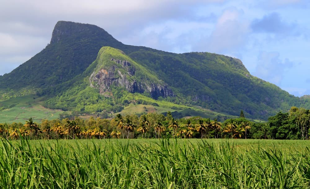
Lion Mountain dominates the southeastern tip of Mauritius at 480 meters above sea level. Its silhouetted peaks resemble a resting beast, hence its name. Visible from Mahébourg, the summit offers panoramic views over the bay, Île de la Passe and Île au Phare, in exchange for a 2 to 3-hour hike featuring some rock climbing sections.
Why climb Lion Mountain
This ascent appeals to travelers seeking sweeping coastal views without tackling the island's most demanding peaks. At 480 meters, the summit rises just over half the height of Piton de la Petite Rivière Noire (828 m), Mauritius's highest point. The effort-to-reward ratio remains favorable: in half a day, you reach a vantage point overlooking Mahébourg Bay, the scattered British forts on the islets and, on clear days, a substantial portion of the eastern lagoon.
The route also interests those drawn to Mauritian history: the mountain played a military role in 1810, and the trail crosses sugarcane fields still under cultivation, an emblematic landscape of island economics.
An observation post for the 1810 battle
Lion Mountain belongs to the Bamboo Range, which defines the Mauritian southeast. Its name comes from the silhouette of its peaks, likened to a resting lion when viewed from Mahébourg or the coast.
In August 1810, the summit served as an observation post during the Battle of Vieux-Grand-Port, which pitted French and British squadrons against each other in the bay. The engagement, one of few French naval successes during the Napoleonic era, is inscribed on the Arc de Triomphe in Paris. From the summit, you can still identify Île de la Passe, where the British fort taken by the French at the start of the clash once stood.
What you'll encounter along the trail
The route alternates between agricultural land, dry forest and rocky passages. Several sections merit attention:
- Sugarcane fields: the first stretch crosses plantations still in active use. During harvest season, agricultural vehicles circulate on the track.
- The drainage ravine: a passage where the proper climb begins, possibly requiring a small stream crossing if recent rain has fallen.
- Rocks to scramble over: a large boulder early on, then a rock face offering two ways around it (an exposed passage on the right, a more forested route on the left).
- The ridge: terrain becomes level, then opens onto two viewpoints, one facing northeast toward Mahébourg Bay, the other northwest toward the coast.
- The narrow passage with steel cable: a bottleneck between two large rocks, equipped with a safety net installed to prevent a sudden fall at the exit.
- The summit: complete panorama over the bay, Île de la Passe, Île au Phare and the eastern lagoon.
As for wildlife, the Mauritius Kestrel, an endemic falcon saved from extinction in the 1970s, is occasionally spotted along the trail. Its population remains limited, but the species frequents the wooded reliefs of the southeast.
Practical information for the hike
- Distance: approximately 8 km round-trip according to local guides.
- Duration: 2 to 3 hours of actual walking; allow at least half a day including breaks.
- Difficulty: moderate to demanding. The trail includes several light rock scrambling sections and passages where handholds come from roots. Avoid during wet conditions, as rocks become slippery.
- Equipment: hiking boots with good grip, water (1.5 to 2 liters minimum), headwear, sunscreen, snacks. Walking poles useful on the descent.
- Waymarking: limited. A local guide or pre-downloaded GPS track is recommended for a first ascent.
- Safety: mutual support advised at the steel-cable-equipped passage. The hike is not suitable for small children.
When to go
The dry season, from May to November, offers the most stable conditions: a less slippery trail, clear visibility over the islets and lagoon. June to September is coolest and best suited to the exertion.
The Southern Hemisphere summer (December to April) combines heat, humidity and sometimes violent showers; the trail becomes muddy and rocks treacherous. Cyclone season runs January to March: best avoided for this type of outing. Sugarcane harvesting between July and November may generate agricultural traffic on the approach track, but won't prevent the hike.
For light conditions, an early morning start (around 7-8am) limits sun exposure on open stretches and enhances the panorama's colors.
How to get there
The trailhead is located at the Grand-Port police station, a few kilometers north of Mahébourg. Follow Lion Mountain Road, which passes a few residences then enters the cane fields. The paved road ends at a clearing where you can park, without blocking agricultural vehicles during harvest season.
By public transport, several bus lines connect Mahébourg to eastern towns and pass through the area; you'll need to walk the last stretch. A rental car or taxi remains the simplest option from SSR airport or east-coast beach resorts.
Nearby attractions
The region concentrates several complementary visits to pair within the same day or stay:
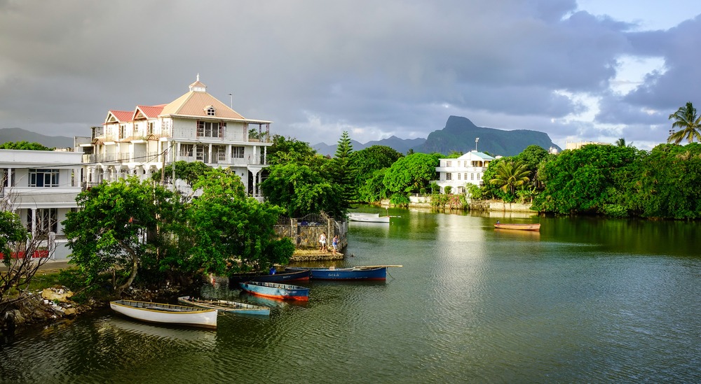
- Mahébourg: coastal town and former trading port, with its market and waterfront.
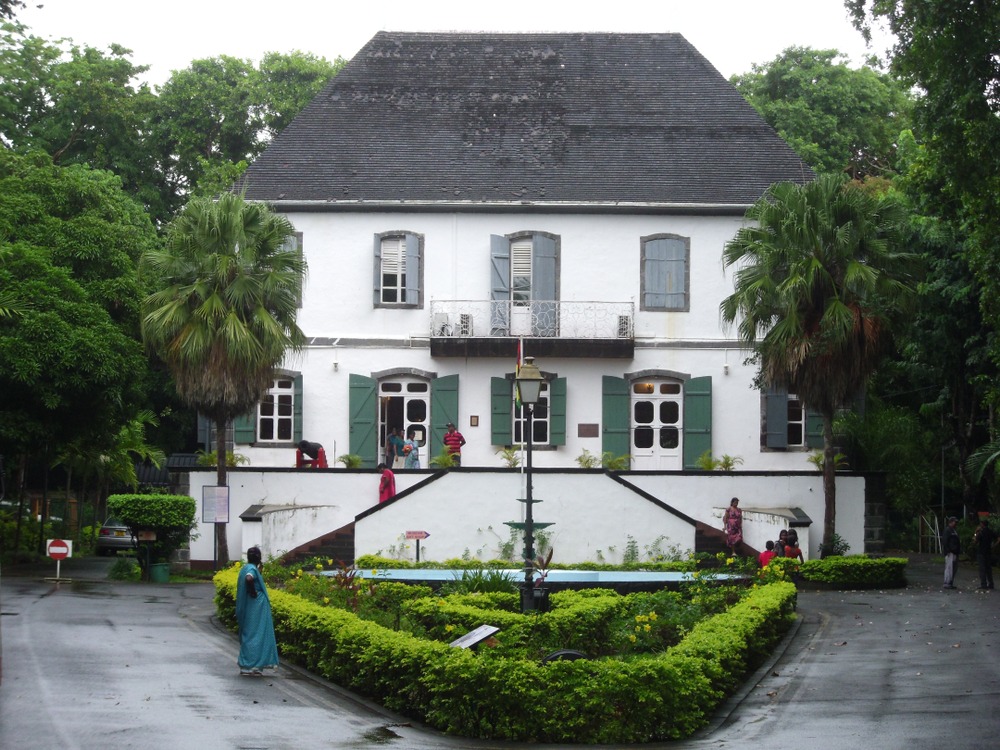
- National History Museum of Mahébourg: collection devoted notably to the 1810 battle, a direct complement to a mountain visit.
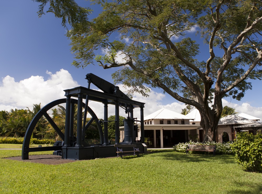
- Aventure du Sucre: museum housed in a former sugar mill, to understand the cane landscapes crossed on the trail.
- Sir Seewoosagur Ramgoolam Botanical Garden: further north, a classic stop for tropical and endemic flora.
Frequently asked questions
Frequently asked questions
The summit stands at 480 meters, slightly more than half the height of Piton de la Petite Rivière Noire (828 m), Mauritius's highest point.
The route is moderate to demanding in difficulty. It includes several light rock scrambling passages, including a bottleneck equipped with a steel cable net. A reasonable fitness level and some ease on uneven terrain are necessary. Best to avoid rainy days.
Count 2 to 3 hours of actual walking for the 8 km round-trip, or rather a full half-day including photo stops at the summit and the approach walk from the car park.
On clear days, the panorama spans Mahébourg Bay, Île de la Passe and Île au Phare, as well as a broad stretch of the eastern lagoon. It's also the vantage point that recalls the mountain's role as an observation post during the 1810 Battle of Vieux-Grand-Port.
The trail is not formally waymarked. For a first ascent, a local guide or a pre-downloaded GPS track avoids hesitation in the cane fields and when choosing which route around the large rock face.
Include Lion Mountain in your trip
This ascent fits naturally into a circuit through southeastern Mauritius, between Mahébourg, Vieux-Grand-Port and the 1810 battle heritage sites. To build a custom itinerary combining hiking, heritage and coastline, consult our Mauritius journeys.
Nearby
Interested in this visit?
We can include it in your personalised itinerary.